 |
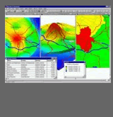
Geographic information systems (GIS) are prominent in many of Minnerva’s projects, as is evident in several of the images shown on this web site and in the MapInfo-based applications section. Minnerva has also worked with a range of geographic data, including AddressPoint data from Ordnance Survey, and Census data. (Contact: Miles Logie) |
|
|
